Lofoten's Arctic Beaches
White sand, turquoise water and jagged peaks above the Arctic Circle make Lofoten a surprising beach destination.
Lofoten Islands, Norway · 8 min read · IGANAVI Editorial Team
Published June 19, 2026 · Updated November 16, 2026
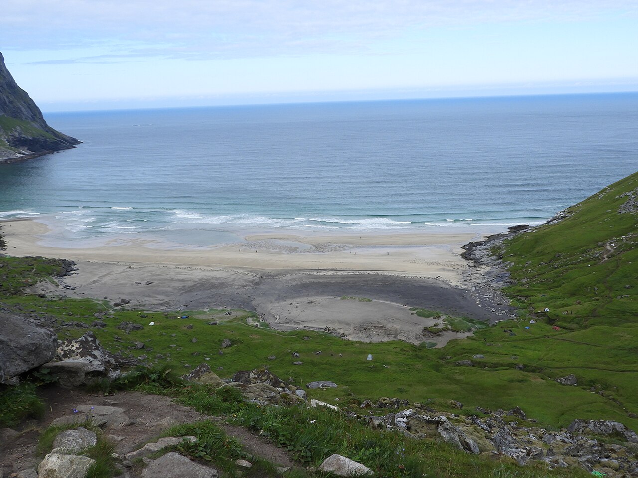
A strip of white sand can look almost tropical beneath Lofoten's mountains. Then the wind reaches your wrists. These islands lie north of the Arctic Circle, off Norway's northwest coast, and their beaches belong to a landscape of cold water, working fishing villages and sudden changes in weather. Come for the colour, certainly, but leave room for the less photogenic pleasures: a flask on a sheltered rock, wet boots drying overnight, the sound of surf through an open window.
The best beach day here need not involve swimming. It might be a short walk at Haukland, a long afternoon hiking to Kvalvika, or an unscheduled stop near Ramberg when sunlight slips beneath the clouds. Distances on a map tell only part of the story. Narrow roads and the temptation to stop make a modest itinerary much more satisfying than a race along the archipelago.
Islands shaped by rock and light
The main road, the E10, connects much of Lofoten through bridges and tunnels and ends at Å in the southwest. Side roads lead to outward-facing beaches, small harbours and settlements where red wooden rorbuer recall the islands' fishing traditions. Some former fishermen's cabins now provide accommodation, but these remain working communities rather than scenery arranged for visitors.
North-facing stretches of coast are particularly appealing during the midnight sun season, roughly late May to mid July, with dates varying by location. Mountains can block the sun even when it remains above the horizon. Cloud may hide it altogether. August still brings generous daylight, but it is not midnight sun season.
In winter the balance reverses. Daylight becomes scarce, weather can interrupt journeys, and the northern lights are possible on clear, dark nights. Neither an aurora nor a safe mountain walk should be assumed. A roadside beach can be a better winter outing than an ambitious trail.
Kvalvika: earn the view on foot
Kvalvika lies on the outer coast of Moskenesøya, within Lofotodden National Park. For ordinary land access, you hike in; there is no road down to the sand. The approach crosses uneven ground and a pass before descending towards the beach. Mud, slippery rock and wind can turn a seemingly straightforward outing into slow work.
Choose your route using current national park information and an appropriate walking map. Parking arrangements around the approaches can change, and roadside verges are not spare car parks. Use designated spaces, keep access clear and have another plan if the trailhead is full.
Beach walk or Ryten ascent?
Ryten offers the familiar high view over Kvalvika, but adding the summit creates a more demanding day. It is not an obligatory extension of a beach visit. Low cloud can erase the view while making navigation harder, and strong gusts are a reason to stay away from exposed ground.
Wear footwear with grip, carry waterproofs and food, and keep enough energy for the return climb from the shore. A beach at the bottom of a trail is only the halfway point. There is a small temptation to forget that once the boots comes off.
Camping may seem the obvious way to linger, but check current national park rules and local notices before bringing a tent. Fragile vegetation and limited sanitation make this a place where individual decisions accumulate quickly. Take every scrap of rubbish back out, including food waste.
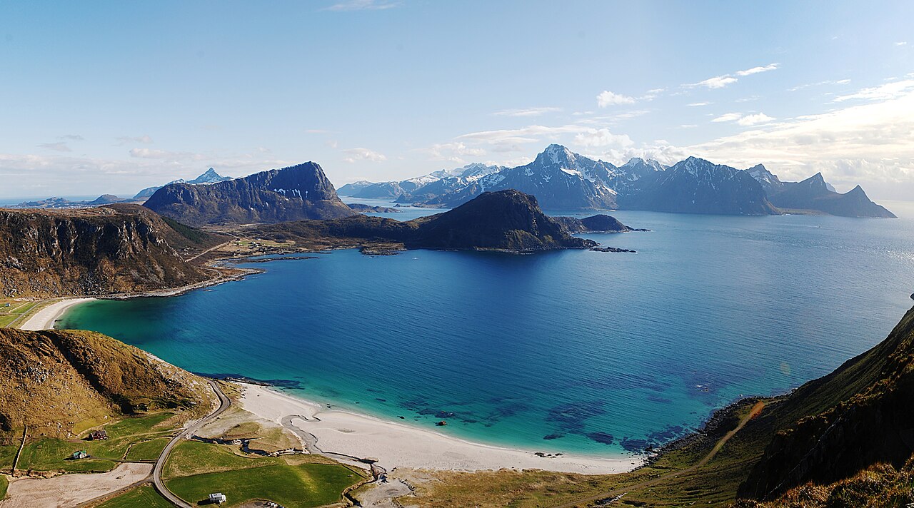
Haukland and Uttakleiv: neighbours with different moods
On Vestvågøy, Haukland has pale sand, a green mountain backdrop and relatively straightforward road access. It suits a day when you want the coast without committing to a substantial hike. Families can spread out on the beach, although shallow water is still cold water and children need close supervision near the sea.
Uttakleiv, nearby, has a more exposed feel, with rocks, open water and a broad horizon. Photographers often gather here for evening light. Do not let the search for a low camera angle draw you onto slippery rocks within reach of waves. Even a calm-looking interval can be followed by a larger wash.
Walking between the beaches
The old coastal road around the headland provides a walking connection between Haukland and Uttakleiv when conditions allow. It is distinct from the tunnel used by vehicles. Check local signs for access and closures rather than treating a road tunnel as a pedestrian shortcut.
There is no need to add a summit to make this a worthwhile outing. Walk part of the coast, turn back when the weather shifts, then give the beach some unhurried time. Parking, toilets and camping arrangements may involve local charges or restrictions; read the signs on arrival and check official visitor information before travelling.
Ramberg, Skagsanden and the surfing coast
Ramberg's beach runs close to the main road on Flakstadøya. That accessibility makes it a useful stop between longer journeys, not a reason to pull over wherever the view appears. Find a lawful parking place and walk down without obstructing homes or businesses.
Near Flakstad, Skagsanden draws walkers, photographers and cold-water surfers. Unstad, on Vestvågøy, is another well-known centre for surfing. Watching experienced surfers can make the sea look inviting, but Arctic surfing requires suitable equipment and knowledge of local conditions. A lesson with an established local provider is a more sensible introduction than borrowing a board and guessing.
Sand patterns, streams and reflected mountains change with tides and rain. You do not need a perfectly clear sky to enjoy them. Sometimes a low ceiling of cloud gives the shoreline more character than the blue-sky version ever could.
Swimming without mistaking the latitude
Lofoten's sea stays cold even in summer. Cold shock can affect breathing immediately, and wind makes warming up afterwards harder. If you choose to enter, assess the waves and currents, avoid swimming alone and stay close to a safe exit. A brief dip is quite enough.
Bring dry clothes in a waterproof bag and change promptly afterwards. Do not use alcohol as a way to feel warmer. Saunas are available through some local businesses, but their locations, opening times and sea access vary, so confirm arrangements directly. A sauna does not make rough water safe.
For many visitors, staying dry is the better choice. A sheltered picnic and a walk along the tide line deliver most of what makes these beaches special, with considerably less shivering.
Right to roam, with limits
Norway's allemannsretten gives access to uncultivated land subject to responsibilities. It is not permission to occupy gardens, drive onto dunes or camp anywhere that looks empty. Respect cultivated ground, private space, livestock and marked restrictions.
For ordinary tent camping on uncultivated land, stay at least 150 metres from inhabited houses and cabins. The usual limit is two nights in one place without the landowner's consent, with exceptions in remote areas and high mountains. Local regulations and protected-area rules can impose further limits, so check the exact place rather than relying on a general summary.
Use toilets where provided and plan waste disposal before an overnight stay. Follow current fire restrictions; the general seasonal restriction on fires in or near woodland and other uncultivated land runs from 15 April to 15 September, with limited exceptions and possible stricter local bans. A campsite with facilities is often the easier, kinder option on this heavily visited coast.
Practical tips for an Arctic beach trip
- Build spare time into your route. Wind, rain and crowded parking can change the day's plan.
- Carry a warm layer, waterproof jacket and trousers, a hat, food and a charged phone even on bright mornings.
- Download maps before leaving reliable reception, and carry navigation suitable for any mountain route.
- Check forecasts through Norway's official weather services and consult Varsom for relevant hazard information.
- If arriving on the Bodø-Moskenes ferry, check the operator's current timetable, reservation rules and boarding instructions for your travel date and vehicle type.
- Do not assume buses reach every beach or run frequently. Check current public transport connections before choosing accommodation without a car.
- Keep gates as you find them, give sheep space and follow local dog-control rules.
Summer generally offers the easiest combination of daylight and accessible trails, but snow can linger higher up and rain is possible throughout the year. September can bring quieter beaches and autumn colour, alongside shorter days and more changeable conditions. In winter, choose plans around road reports and daylight rather than photographs from another season.
Questions before you go
Can I drive to Kvalvika Beach?
No. You reach Kvalvika by hiking trail from designated access points. Check current route guidance and parking information with Lofotodden National Park or official local visitor services, and allow for the walk back uphill.
When can I see the midnight sun from the beaches?
Roughly late May to mid July, depending on the location. Choose an open northern horizon, check local dates and remember that cloud and surrounding mountains can obscure the sun. Bright summer evenings continue outside that window.
Is wild camping allowed at every beach?
No. The right to roam comes with distance requirements, limits and responsibilities, while local or protected-area rules may restrict camping further. Read on-site notices and check official guidance. Never assume a car park permits overnight stays just because tents are allowed elsewhere nearby.
Do I need several days in Lofoten?
You can enjoy a single accessible beach on a short visit, but several days provide breathing room for weather. Keep one day fairly loose rather than filling every hour. The light has a habit of improving just when you was about to leave.
Related guides
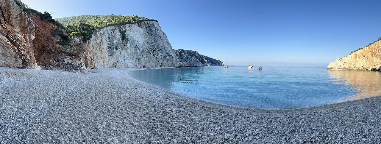
Lefkada and Kefalonia, Greece
The Cliff Beaches of the Ionian Islands
Lefkada and Kefalonia hide pale beaches beneath white cliffs, where the sea glows an almost unreal blue.
Secret Beaches · 8 min read
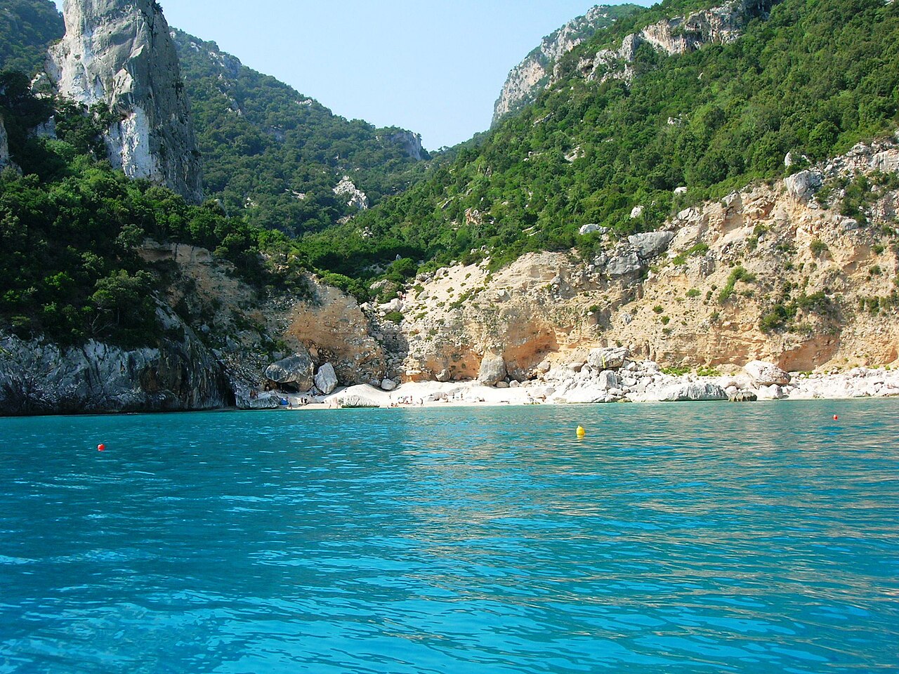
Sardinia, Italy
Sardinia's Gulf of Orosei: Coves at the End of the Trail
Limestone spires, hidden coves and turquoise water reached only by boat or a long hike on Sardinia's east coast.
Secret Beaches · 9 min read
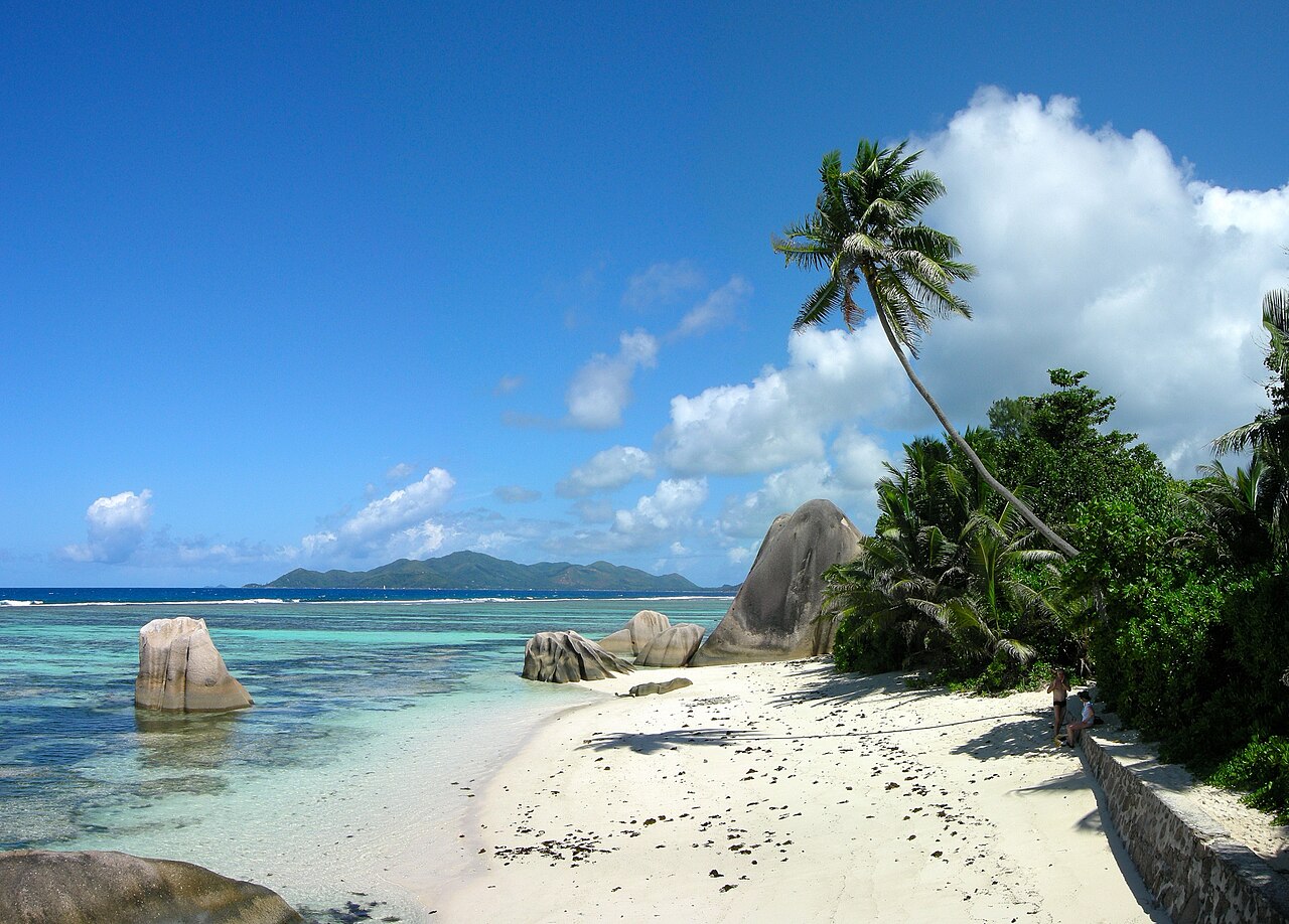
Seychelles, Indian Ocean
Seychelles: Granite Boulders and Endless Light
Ancient granite, quiet coves and forested peaks make the Seychelles feel unlike any other tropical archipelago.
Tropical Islands · 9 min read