The Canary Islands: A Route Through Volcanic Landscapes
From Tenerife's high caldera to tiny La Graciosa, the Canaries reward travellers who explore more than one island.
Canary Islands, Spain · 8 min read · IGANAVI Editorial Team
Published September 18, 2026 · Updated November 16, 2026
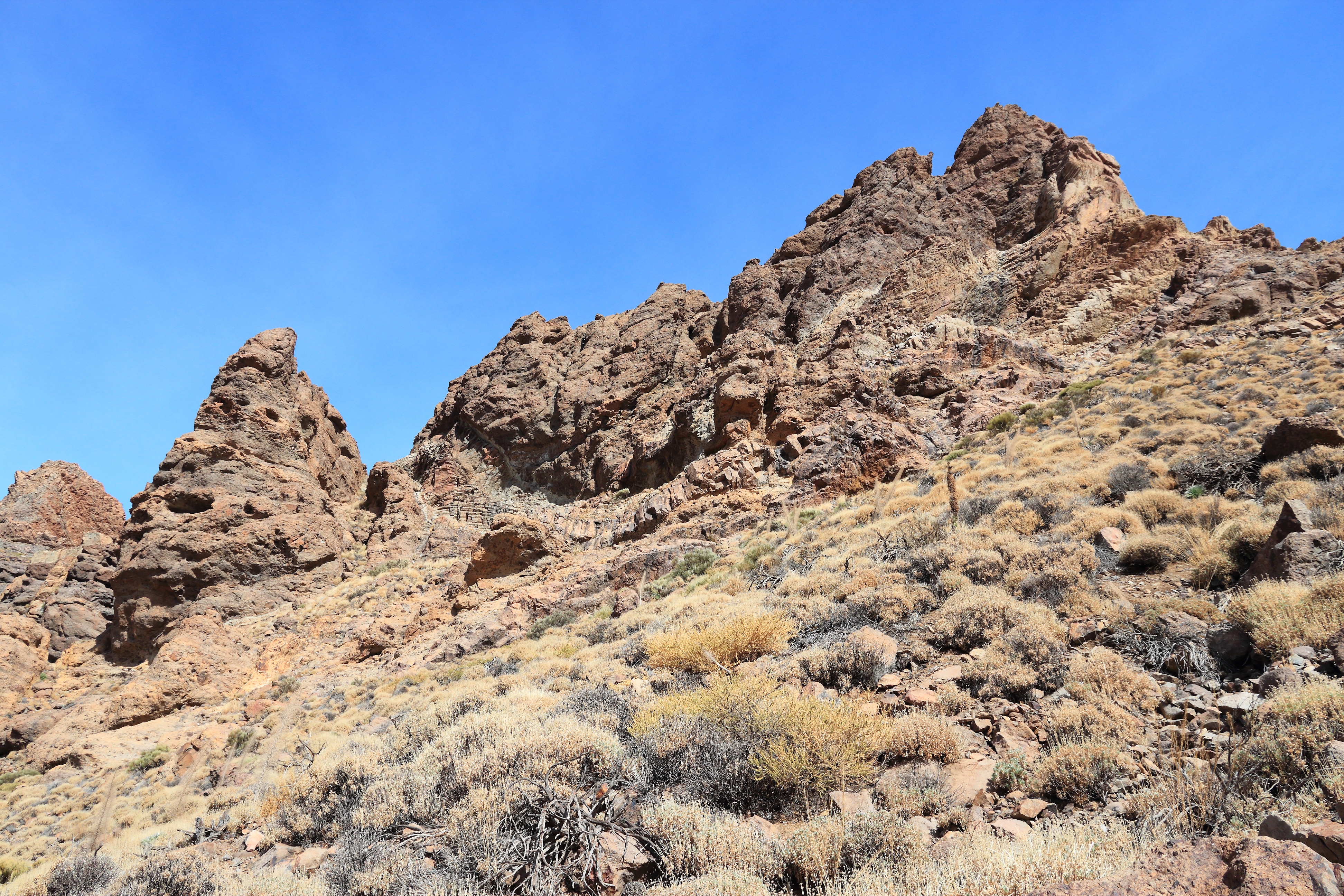
A Canary Islands journey becomes more interesting when the beach is a pause rather than the whole plan. In Tenerife, roads climb from banana plantations towards bare volcanic slopes. On La Gomera, cloud catches in laurel forest. Lanzarote offers another vocabulary altogether: black lava, white villages and vineyards tucked into hollows in the ash.
These Spanish islands lie off northwest Africa, but they are not interchangeable patches of winter sunshine. Choose a small group of islands and allow their differences to emerge. A rushed itinerary can easily turn into a collection of ferry terminals and airport queues.
Build the route around two islands
For a first visit focused on landscapes, Tenerife and La Gomera make a satisfying pairing. Spend several nights on Tenerife for Teide National Park and the northern towns, then cross to La Gomera for forest walks and ravines. A week gives this combination some breathing room; extra nights are useful if walking is the main purpose.
Lanzarote and La Graciosa form a different route, with less forest and more exposed volcanic country. Base yourself on Lanzarote, explore its protected landscapes and villages, then take the ferry north for a day or a longer stay on La Graciosa. Resist adding Tenerife simply because it looks nearby on a map. Transfers consume more of the day than the flight time suggests.
Leave room between connections
Fred. Olsen Express and Naviera Armas are important inter-island ferry operators, while Binter provides inter-island flights. Not every operator serves every island pair directly, and timetables vary. Compare the actual ports and airports, not just the island names, before committing to accommodation.
On Tenerife, ferries for La Gomera normally depart from Los Cristianos, while other services use Santa Cruz. The island also has two airports. A cheap flight into one end of Tenerife followed by a ferry from the other can involve a substantial transfer. Avoid a tight same-day connection to an international flight, especially when the sea forecast is unsettled.
Tenerife from the coast to the caldera
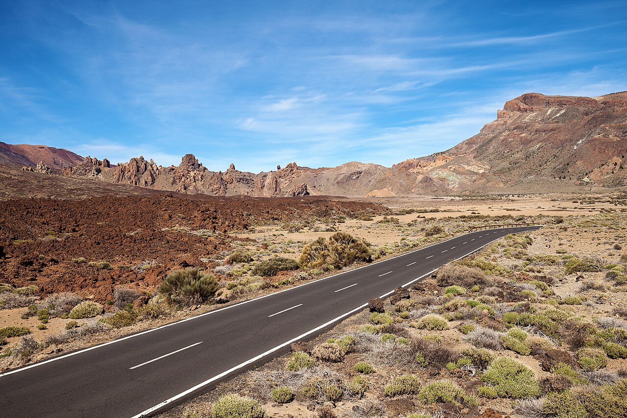
Tenerife is the largest Canary Island, and Teide is Spain's highest peak. Yet the park is worth visiting even without reaching the top. The broad volcanic basin contains pumice slopes, dark lava and sculpted rocks that change colour as cloud shadows move across them. It feels far removed from the coastal hotel strips.
Roques de García is a rewarding introduction. Marked paths lead through the rock formations, with views across the surrounding volcanic landscape. Check the current route description and closures before setting off; uneven lava and exposed sunshine make this more than a casual stroll in beach shoes. Carry water even when the morning feels cool.
Understand Teide access before travelling
The cable car does not deliver passengers to the summit. Its upper station is below the peak, and the final ascent uses the controlled Telesforo Bravo trail. A cable-car ticket and a summit permit are separate arrangements. Neither guarantees that weather conditions will allow the outing to proceed.
For 2026 planning, consult Spain's national parks information and the Tenerife ON platform it directs visitors to for current summit authorisations. The national parks reservation page now directs summit applications to Tenerife ON. Other high-mountain trails can also require reservations, so check the requirements for your exact route rather than assuming only the summit is regulated.
Altitude matters here. Someone comfortable walking at sea level can still feel unwell high on Teide. Read the cable-car operator's health guidance, carry warm layers and turn back if you feel ill. Snow, ice and strong winds can affect access even when people are swimming on the coast. Have a lower-altitude alternative ready.
Northern Tenerife deserves its own day
La Orotava makes a useful counterpoint to the high country, with historic streets and traditional balconies beneath the mountain slopes. Rather than driving straight through, leave time to walk, eat lunch and notice how the vegetation changes with elevation. The north is generally greener than the south, although neither side comes with a weather guarantee.
The Anaga area in the northeast offers forested ridges and old walking routes. Some sensitive areas require advance permission, and narrow roads can make distances deceptive. Choose one walk suited to your ability, check Tenerife ON for restrictions and avoid trying to combine a long Anaga hike with a full Teide visit in the same day.
La Gomera for forest and ravines
The ferry brings you to San Sebastián de La Gomera, but the island's interior is the reason to stay. Roads curl around deep valleys before reaching the humid uplands. Garajonay National Park protects laurel forest, where mossy trunks and low cloud can replace the dry coastal palette within a single drive.
Walking here is not uniformly gentle. A short distance on the map may involve a steep descent followed by a demanding climb. Pick routes using official descriptions, pay attention to elevation gain and check for closures after rain or fire risk. Mist can be atmospheric, but it can also hide junctions and cool you quickly.
Silbo Gomero, the island's whistled language, is part of its living cultural heritage. Look for interpretation at established cultural venues rather than expecting a performance in every village. Between walks, stop in a settlement for a meal and let the day slow down. There is plenty to notice without filling every hour.
Lanzarote and a landscape shaped by fire
Lanzarote's volcanic terrain has a starkness quite unlike La Gomera's forest. Timanfaya National Park protects part of the landscape created by historic eruptions. Visitors cannot simply wander wherever they choose across the lava. Check the official visitor arrangements for authorised routes, guided activities and opening conditions.
The familiar tourist visit includes a controlled bus route through the volcanic scenery. This is not a substitute for a freely chosen hiking trail, and planning with that distinction in mind avoids disappointment. For walks elsewhere on the island, use designated paths and respect protected ground. Fragile surfaces retain damage long after a footprint seems to have disappeared.
César Manrique's work adds a human scale to the island's geology. His buildings and visitor spaces often frame the rock rather than compete with it. Choose a few sites that interest you instead of racing through all of them. In La Geria, the sheltered vine hollows and low stone walls show another kind of adaptation to wind and volcanic soil.
Cross to La Graciosa without a checklist
Passenger ferries connect Órzola in northern Lanzarote with Caleta de Sebo on La Graciosa. Check the operator's current departures and return arrangements, particularly outside busy periods or when wind is forecast. If your accommodation is far south on Lanzarote, remember to include the drive to Órzola in the day's plan.
La Graciosa has sandy tracks rather than conventional paved roads. Walking and cycling are common ways to explore, but loose sand and heat can make cycling harder than expected. Regulated local vehicle services operate too; this is not an island to treat as an unrestricted self-drive playground.
Take enough water before leaving Caleta de Sebo. Remote beaches may have no services, and an inviting stretch of blue water can conceal strong currents. Follow local safety advice and do not assume that an empty beach is safe for swimming. The walk back can feel suprisingly long after a sunny afternoon.
Seasons and practical tips
Winter brings mild coastal weather rather than guaranteed heat. Higher ground can be cold, and Atlantic weather occasionally disrupts travel. Spring and autumn often suit walking, while summer can make exposed routes uncomfortable. Check forecasts at the elevation you intend to visit, not only at your seaside base.
- Choose one island pair before buying transport, then check direct connections for your travel dates.
- Ask a rental company explicitly whether its vehicle may travel by ferry; permission and insurance conditions vary.
- Use local buses where routes suit your plans, but verify the final return service before starting a walk.
- Pack wind protection, walking shoes and layers alongside swimwear.
- Save permits and identification offline, and check protected-area alerts again shortly before visiting.
- Keep an alternative day free for ferry disruption, mountain closures or simple tiredness.
A car helps with scattered villages and trailheads, but parking can be limited at popular sites. Start with a realistic daily radius. Two carefully chosen stops often work better than six viewpoints, and there is no prize for driving every mountain road. Keep a little space in the itinery for a village you had not planned to visit.
Frequently asked questions
Which island pair works best for a first volcanic walking trip?
Tenerife and La Gomera offer a strong contrast between high volcanic terrain and humid forest. Lanzarote and La Graciosa suit travellers drawn to lava fields, open horizons and coastal walking. Choose according to landscape and walking preferences rather than trying to rank the islands universally.
Can I reach Teide's summit with only a cable-car ticket?
No. The summit trail requires separate authorisation, and the cable car stops below it. Check the current national parks guidance and Tenerife ON requirements, including any permits for your approach trails. Weather closures can still prevent access.
Is it sensible to visit all the main islands in one week?
It is possible to spend much of a week transferring, but that leaves little time for the landscapes. Two nearby islands are a better fit for most visitors. Longer routes deserve more nights and some flexibility between major connections.
Are the islands warm enough for hiking in winter?
Many coastal and lower-level walks can be pleasant, but mountain conditions are a separate matter. Teide can have snow and ice, while forest routes may be wet and cold. Select each day's walk using local forecasts and official access information, not the archipelago's sunny reputation.
Related guides
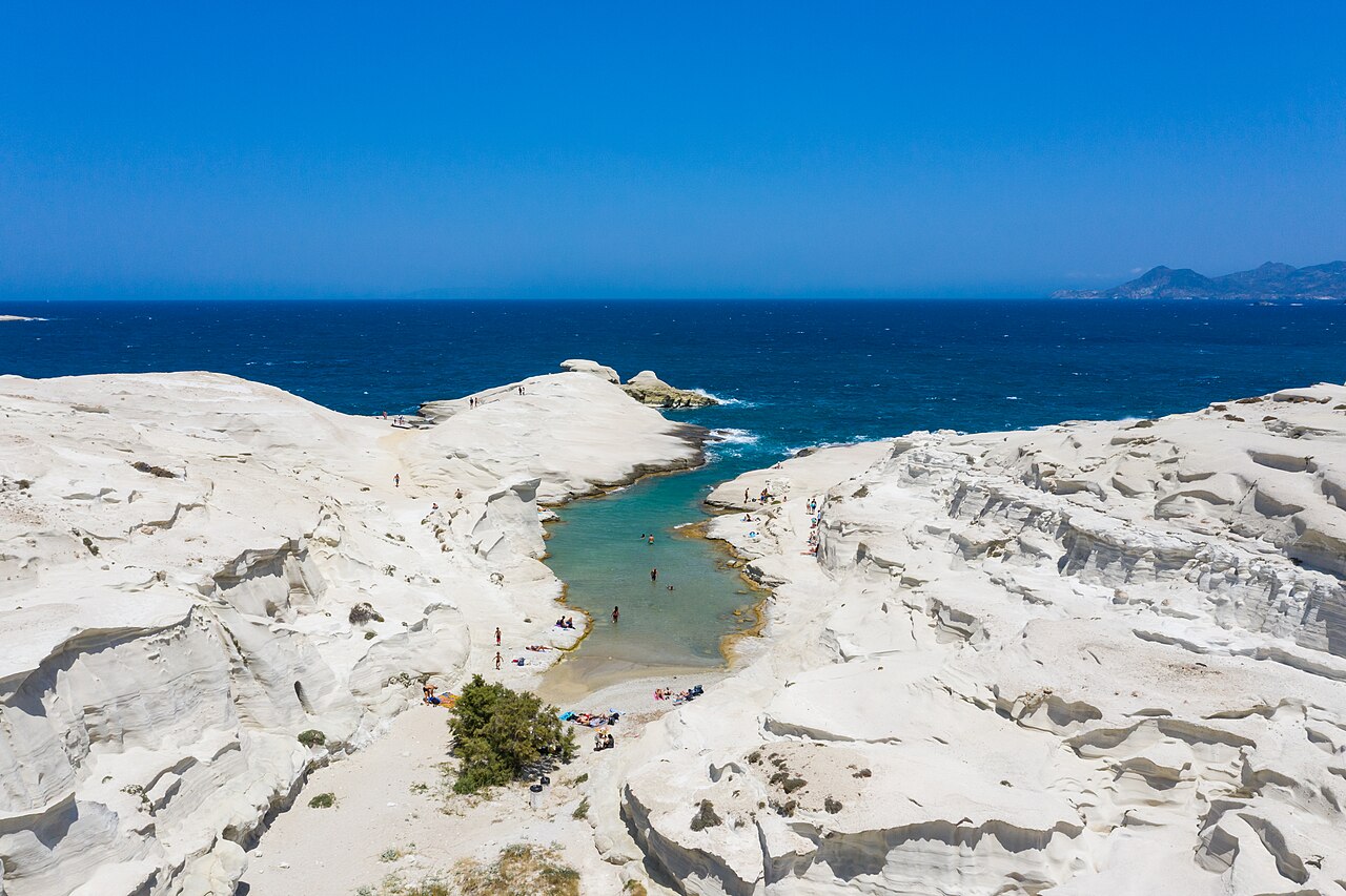
Cyclades, Greece
Island Hopping in the Cyclades
From Milos to Naxos, the Cyclades offer endless combinations of volcanic coasts, villages and Aegean light.
Island Hopping · 8 min read
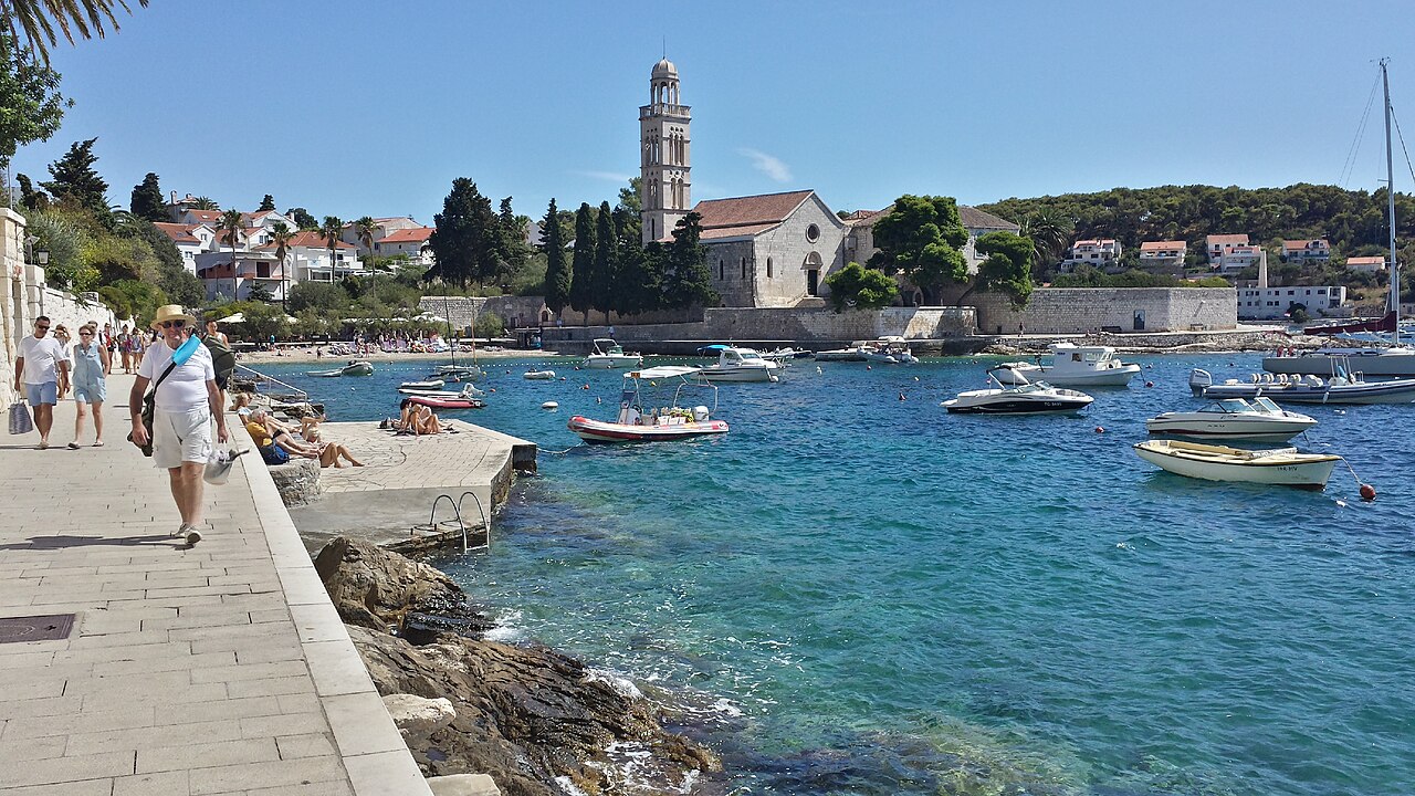
Dalmatia, Croatia
Croatia's Dalmatian Islands by Sea
Hvar, Korčula and their neighbours create one of the Mediterranean's most rewarding island routes.
Island Hopping · 8 min read
Fiji, South Pacific
Fiji's Island Chains: The Yasawas and Mamanucas
Two island groups off Viti Levu offer reef-fringed beaches, village warmth and easy access by boat.
Tropical Islands · 8 min read